Cycling Itineraries
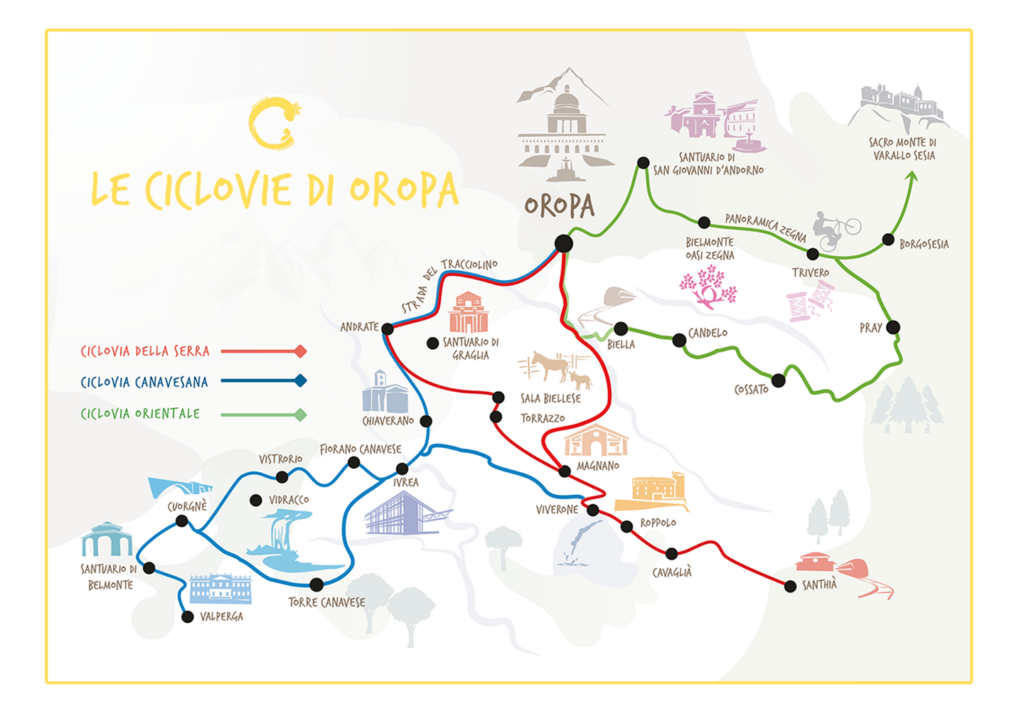
The cycle routes of Oropa
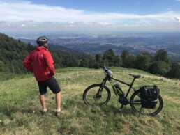
The bike routes on the Oropa Cycle Paths connect the agricultural plain to the Piedmontese Alps, crossing a beautiful and very varied landscape.
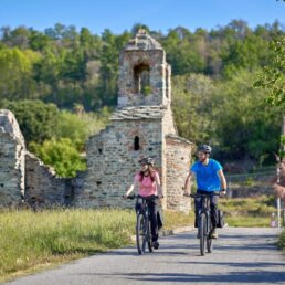
These itineraries are also suitable for less experienced cyclists, who can tackle them in two or more days with an e-bike, and they are also very fun for the most trained cyclists who use muscle bikes.
These are not bike paths, but routes on roads that can also be traveled by car; therefore, not suitable for families with children.
The Serra Ciclovia, from Santhià to Oropa, and the Canavesana Ciclovia, which connects Ivrea to the Sanctuaries of Belmonte and Oropa, are fully traced and equipped with signage and reception facilities.
Ciclovia of Oropa of Serra
The cycle route from Santhià to Oropa
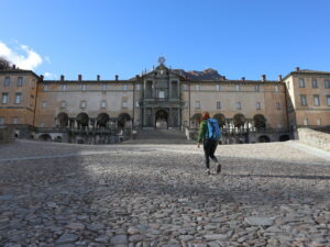
The route connects the Santhià train station to the Oropa Sanctuary on a route that after crossing the agricultural plain and the forests of the Serra Morenica, reaches the Alps. On the way back, the loop is closed by passing through Biella and the Bessa Natural Reserve.

119 km - Loop route


Ciclovia of Oropa Canavesana
The cycle route from Cuorgnè to Oropa
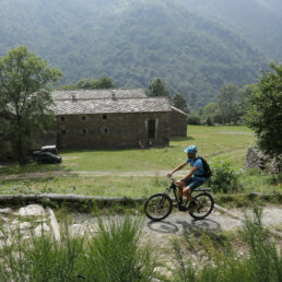
The Cycling itinerary - Canavese route is a path consisting of two large loops that start from the Ivrea train station and head west to the Sacro Monte di Belmonte, to Valle Sacra and to Valchiusella, and reaches the Serra Morenica and the Sanctuary of Oropa: it is therefore possible to ride a single loop or to concatenate the two routes.
145 Km - Loop route


Fill in the form
Fill in all parts to get a quote
services

RENT A BIKE
DISCOVER THE CONNECTIONS WITH THE BIG CITIES
APP AND OFFICIAL GUIDE
Info Useful extra
CREDENTIAL AND TESTIMONIUM
The signposting of the Way
FREQUENTLY ASKED QUESTIONS (F.A.Q.)
BICYCLE ROUTES ON THE OROPA CYCLEWAY
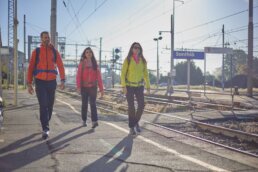
The Oropa Way can be traveled on foot or by bike along routes that differ in difficulty, travel time, and points of interest. Currently active are the Serra route, from Santhià to Oropa, the Canavese route, from Valperga to Oropa, the Oriental route between Vallemosso and Oropa, and the cycling itinerary - Serra route, which from Santhià reaches Oropa on a different route than the walking itinerary, mostly on paved secondary roads.
Orient yourself along the Way is super easy: all routes have signposts.
OFFICIAL APP
You can download the SlowBi App for free: you will find the Oropa Way in the staged itineraries and you can orient yourself with the GPS of your smartphone. If you have a GPS you can download GPX tracks from our website.
Thanks to the collaboration with the friends of the Via Francigena and the Trail Angels, the Camino di Oropa is well maintained: wayfarers, thanks to the SlowBi App, send us in real time any reports of problems with GPS coordinates and the Trail Angels intervene for maintenance. Itinerari in bici is a project of the Movimento Lento Network.
 Our progress is slow but deliberate.
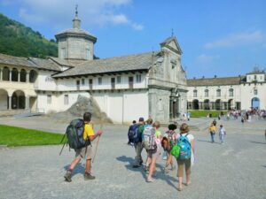 We are a social cooperative-tour operator, a network of individuals and associations in Italy and around the world. Our story began in the late 1990s, when a handful of people began to question the meaning of mass tourism. Traveling and getting to know projects related to fair trade gave birth to the idea of starting a social enterprise that would disrupt the paradigms of tourism and work in direct contact with the civil society of the places visited, with people and associations directly involved in development projects.